|
Public Member Functions |
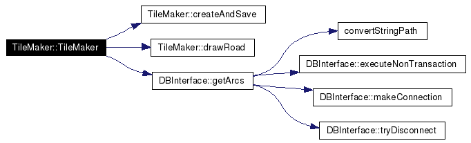
| | TileMaker () |
| virtual | ~TileMaker () |
| void | drawRoad (double xa, double ya, double xb, double yb, int roadType) |
| | Method responsible for drawing a road based on geographic points and a flag indicating the type of road.
|
| void | createAndSave (int zoom) |
| | Method driving the class. Creates a map at a given zoom level, and saves it appropriately for future use.
|
Private Attributes |
| QCanvas * | m_canvas |
| | Qt class used to draw the maps initially, prior to converting them to image files.
|
| int | m_zoom |
| | Flag indicating the zoom level on the tile currently being processed.
|
 1.4.0
1.4.0