The where-the-heck-am-I-bot
(2D Markov Localization)
Abstract: The robot determines where it is within a given map of the obstacle course that it finds itself by “wandering” around that course.
Imagine being dropped off into the middle of nowhere just with a map and a vague idea of what part of the map you might be in. Now try to find out where exactly you are by wandering around and guessing which landmarks correspond with landmarks on the map! Essentially, this is what our robot design does. By relating past movements to past guesses of where it thinks it is and current sonar readings, the robot uses a probabilistic Markov localization algorithm to determine where it is located over a limited number of “turns”.
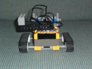
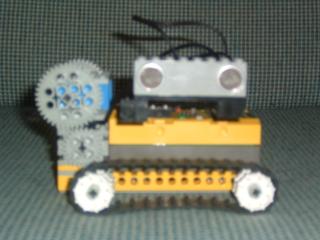
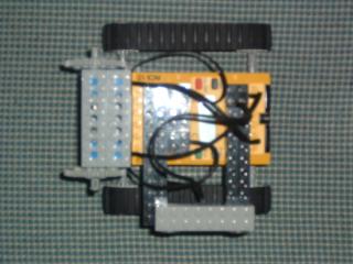
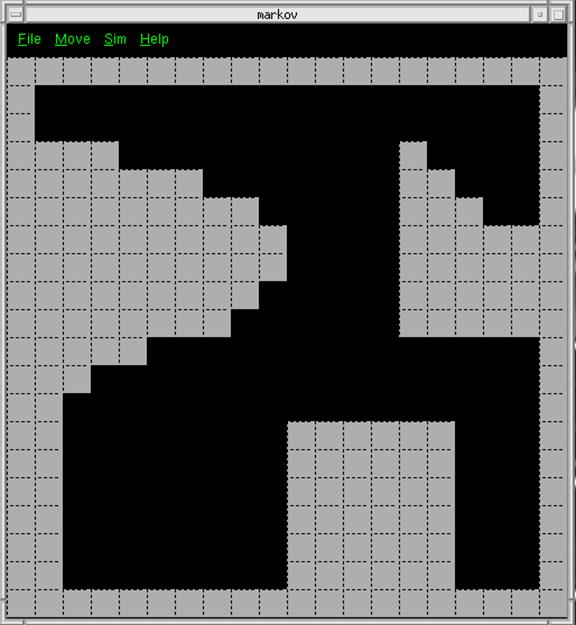
A terrain and corresponding map were built in which the robot is placed at a random location. The robot is moved by PC input (using the IR link) and sends back new sonar data. The PC then uses this new data together with the last turn’s data to make a guess of where it thinks the robot is (coordinates on the map) and in what orientation. This guess is displayed on a picture of the map by using a GUI interface. Over the period of a limited number of turns, the robot will localize its position. This type of problem is currently being researched in 3-D by researchers such as Sebastian Thrun, a professor at Stanford who has implemented robots which can map and navigate through mine systems.